Population: 109,373
City of Sugar Land, Texas
The increased frequency of rain events has made timely and accurate access to information a top priority to prevent injury, damage or the loss of life. The City of Sugar Land’s modernized Integrated Stormwater Management Model (ISWMM) now delivers real-time data to citizens from strategically placed gauges throughout the city.
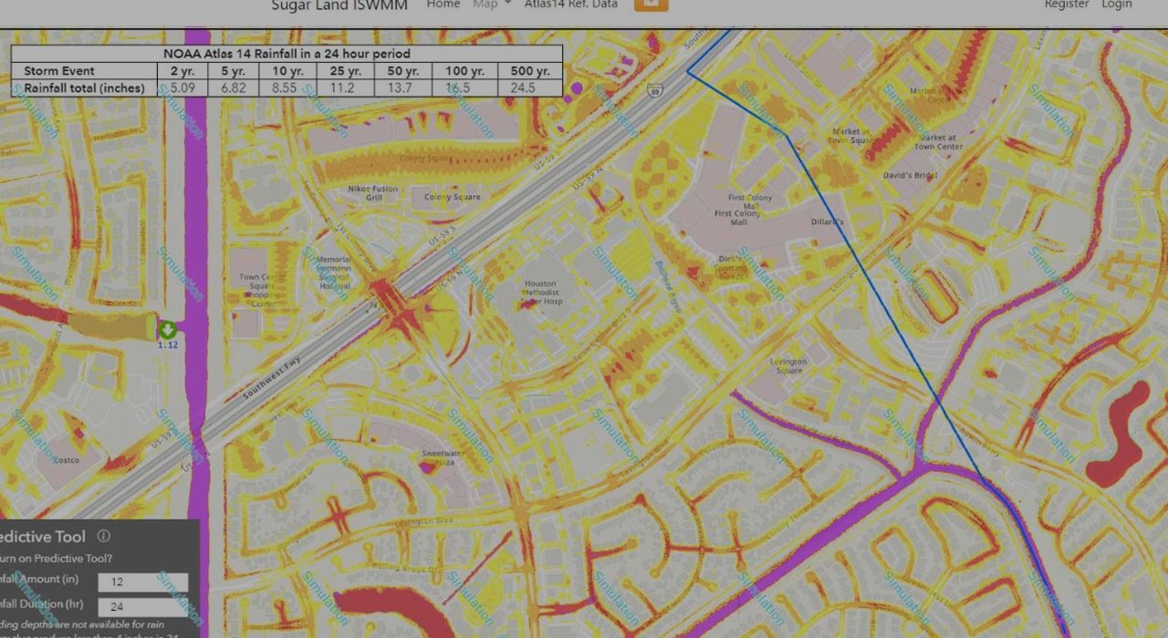
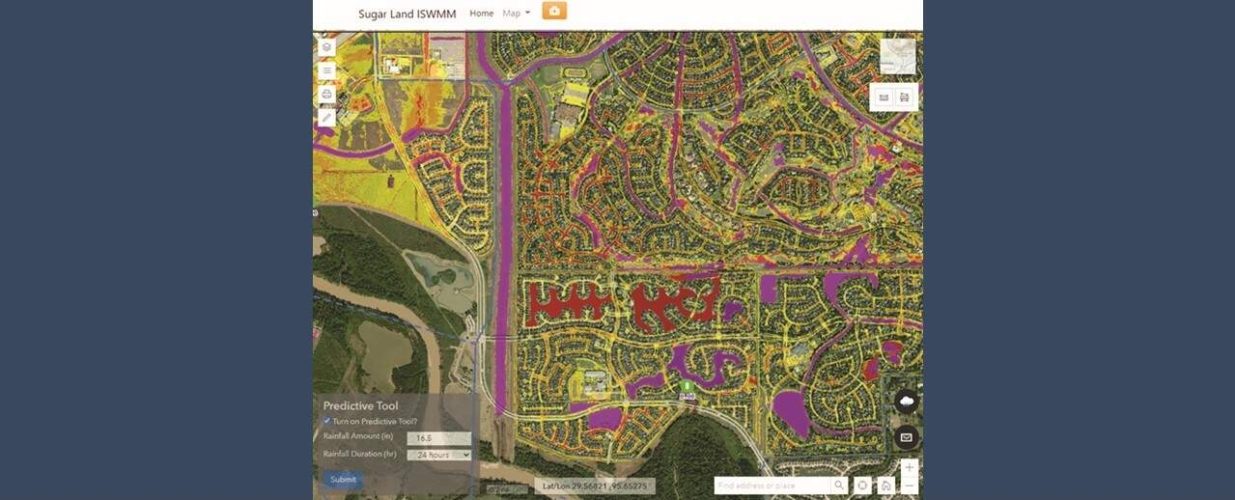
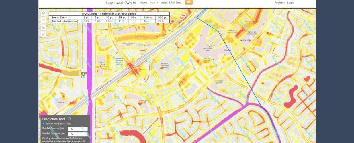
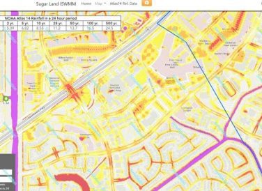
Phase 1 included collecting best available models, reports, plan sets and GIS datasets from the City, and developing a GIS database schema to support the incorporation of various layers. Phase 2 generated citywide ponding maps for the 2-, 5-, 10-, 25-, 50-, 100- and 500-year Atlas 14 storm using a combination of approximate and detailed hydraulic models from prior studies. Phase 3 incorporated Atlas 14 citywide ponding maps for storm durations and frequencies. Information was then presented in a newly developed webmap of rainfall data and selected ponding layers, based on live accumulated rainfall and storm duration.
The ISWMM connects to 27 gauges throughout the City, simultaneously reporting information used to create ponding maps. Alert notifications can be sent immediately to inform residents about ponding, street flooding and potential street closures. Halff developed street ponding maps, which link to rain gauges and are recalled depending on recorded rainfall accumulation. Halff developed a predictive option where the user can view potential ponding by selecting both rainfall depths and storm duration.
Won Awards:
2022 — Studies, Research and Consulting Engineering Services Award – Silver; American Council of Engineering Companies (ACEC) Texas Engineering Excellence
2022 — John Patton Community Service Award; Texas Floodplain Management Association (TFMA)
Halff Services
Involved
- Geographic Information Systems
- Intelligent Infrastructure
Let’s Connect
Ready to work with Halff? Simply fill out the form to be directed to the best person at Halff to discuss your interests.

